Bayside walks
The 9 Bayside walks are interesting and leisurely walks through the streets, parks and suburbs. They are designed for people of all ages and levels of fitness.
Each trail provides a suggested route, estimated time and distance, information about accessibility, and locations of public services and places of interest.
You can download the Bayside Walks map.
Bayside walks
Kamesburgh Walk, Brighton
Starting on Martin Road, the Kamesburgh Walk is 2.2 kilometres long with a walking time of 40 minutes. The trail path is mostly flat with gentle undulations.
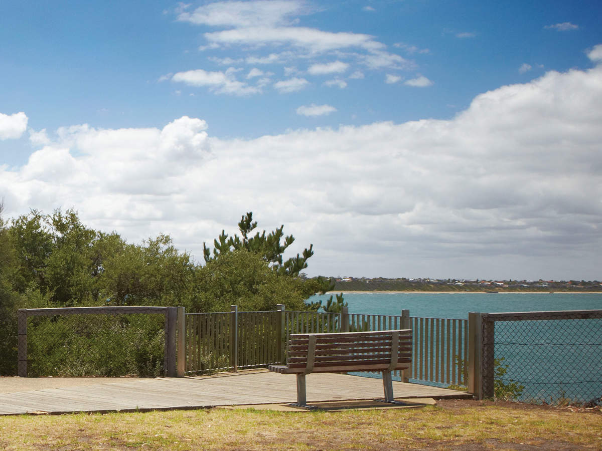
Landcox Walk, Brighton East
Starting at Landcox Park, the Landcox Walk is 4 kilometres long with a walking time of 1 hour. The trail path is moderate in terms of difficulty as there are some hilly sections.
Castlefield Walk, Hampton
Starting at the Hampton Community Centre, the Castlefield Walk is 4 kilometres long with a walking time of 1 hour. The trail path is moderate in terms of difficulty.
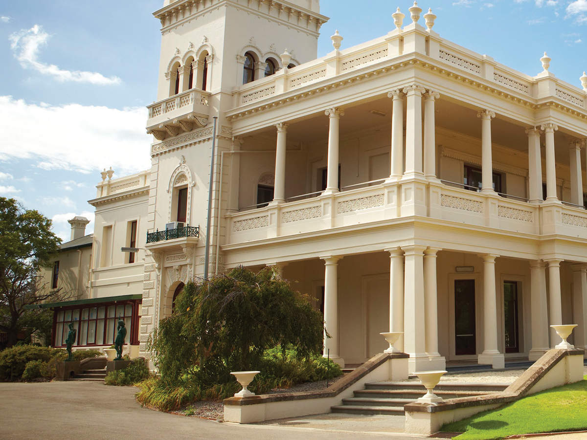
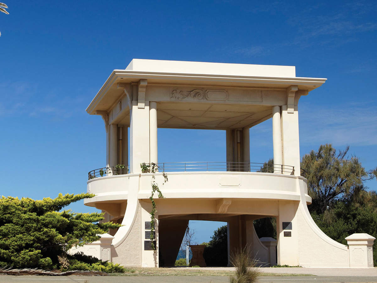
A Taste of Brighton Walk
Starting at the historic Brighton Town Hall on Wilson Street, the Taste of Brighton Walk is 2.3 kilometres long with a walking time of 1 hour. The trail path is mostly flat with a couple of small hills.
Battle of Trafalgar Walk, Sandringham
Starting at the Sandringham Railway Station on Station Street, the Battle of Trafalgar Walk is 3.7 kilometres long with a walking time of 1 hour. The trail path is moderate in terms of difficulty and there are some hilly sections.
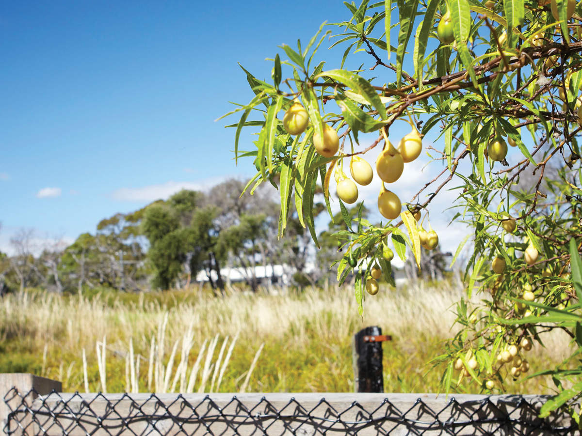
Heathland Walk, Sandringham
Starting at Tulip Street, the Heathland Walk is 2.8 kilometres long with a walking time of 50 minutes. The trail path is moderate to hard in terms of difficulty.
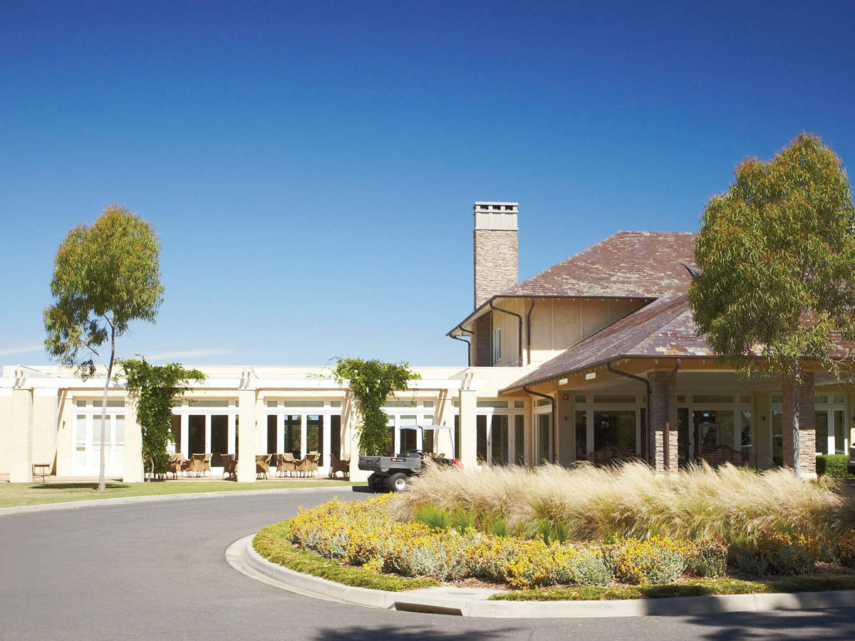
Golf Links Lane Walk, Black Rock and Cheltenham
Starting at Tjilatjirrin Reserve, the Golf Links Lane Walk is 4.3 kilometres long with a walking time of 1 hour. The trail path is moderate in terms of difficulty.
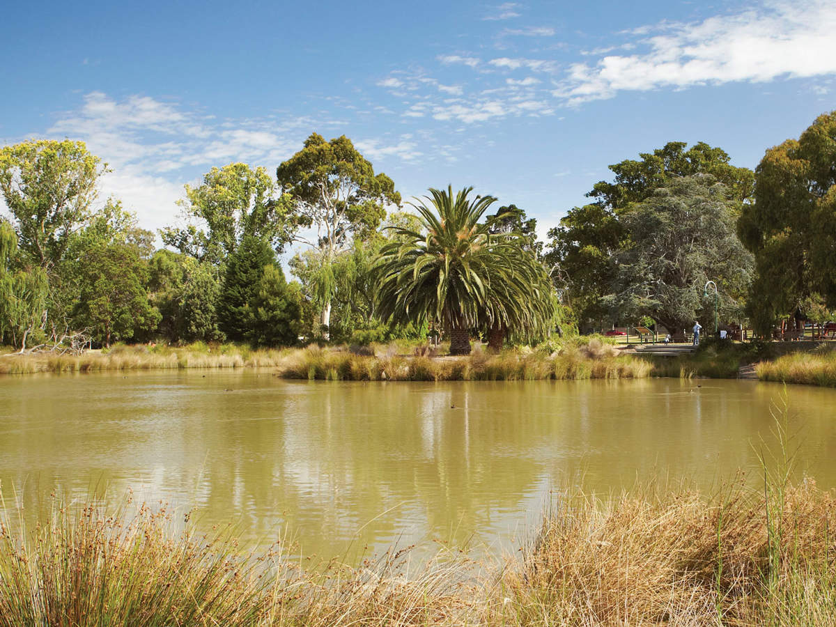
Whispers and Vistas Walk, Cheltenham
Starting at Cheltenham Park, the Whispers and Vistas Walk is 3 kilometres long with a walking time of 40 minutes. The trail path varies between easy and hard in terms of difficulty.
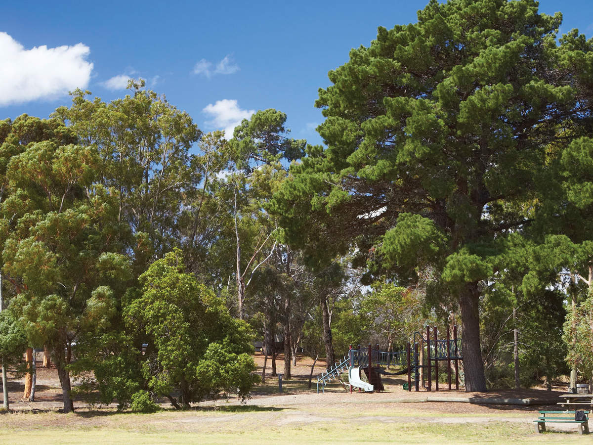
Moysey Walk, Beaumaris
Starting at the Beaumaris Community Centre, the Moysey Walk is 3.9 kilometres long with a walking time of 1 hour. The trail path is moderate in terms of difficulty and there are some hilly sections.